
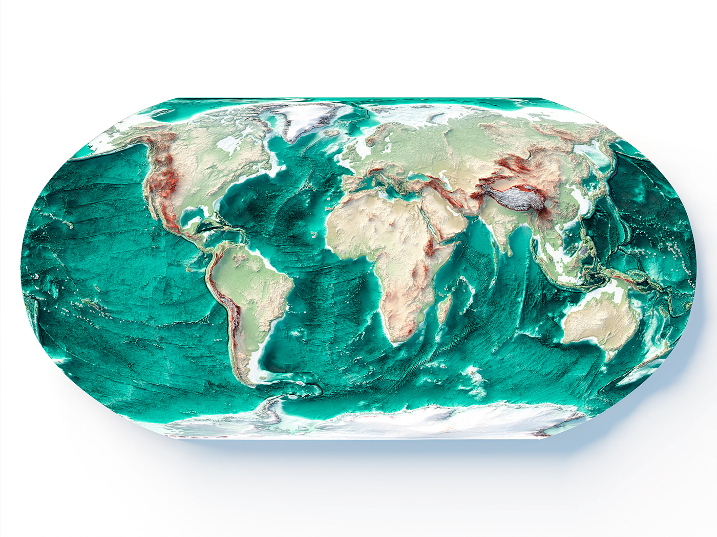
SHADED RELIEF
WORLD MAP
The shaded relief map of the globe with bathymetric data and elevation tint colour palette mixed with satellite images.
Elevation data source: GEBCO
If you like our work, want to see our daily work or want to say hello to our studio, consider to follow our Instagram account.
Otherwise if are interested in our prints or have a custom request check our shop Vizcart.io
Otherwise if are interested in our prints or have a custom request check our shop Vizcart.io
For inqueries or commission, feel free to contact us at hello @ vizart . io


If you want support our work, you can order the printed map here:


